Kingsway GIS App
Close Copy
Challenge
Kingsway Exterminators needed a modern GIS platform, built in partnership with Esri mapping technology, to support a multi-million-dollar NYC mosquito control contract. The work focused on coordinating treatment of thousands of basins across all five boroughs to reduce mosquito-borne disease risk. Their existing routing tools were outdated, inefficient, and difficult for both administrators and field teams to use. To win and deliver the contract, Kingsway required a system that translated complex geospatial operations into clear, reliable workflows and could support large-scale basin treatment across the city.
Strategy
As hands-on Creative Director, I led UX, UI, and information architecture across a dual system: a desktop application for planning, routing, and real-time oversight, and a native mobile app for field teams to log basin treatment status and track progress. Working closely with GIS specialists, I mapped workflows, restructured routing logic, and introduced a real-time dashboard that unified planning, execution, and reporting. The system improved coordination, reduced friction in the field, and enabled teams to efficiently treat and track thousands of basins across the city in real time, supporting a critical public health effort across New York City.
Results
The new GIS platform significantly improved operations. Route planning accuracy increased by 50 percent, route build time dropped by 65 percent, and mobile reporting more than doubled the amount of complete field data captured. The Esri-powered system helped Kingsway secure the multimillion-dollar NYC contract, supporting a citywide public health initiative and establishing a durable competitive advantage in future engagements.
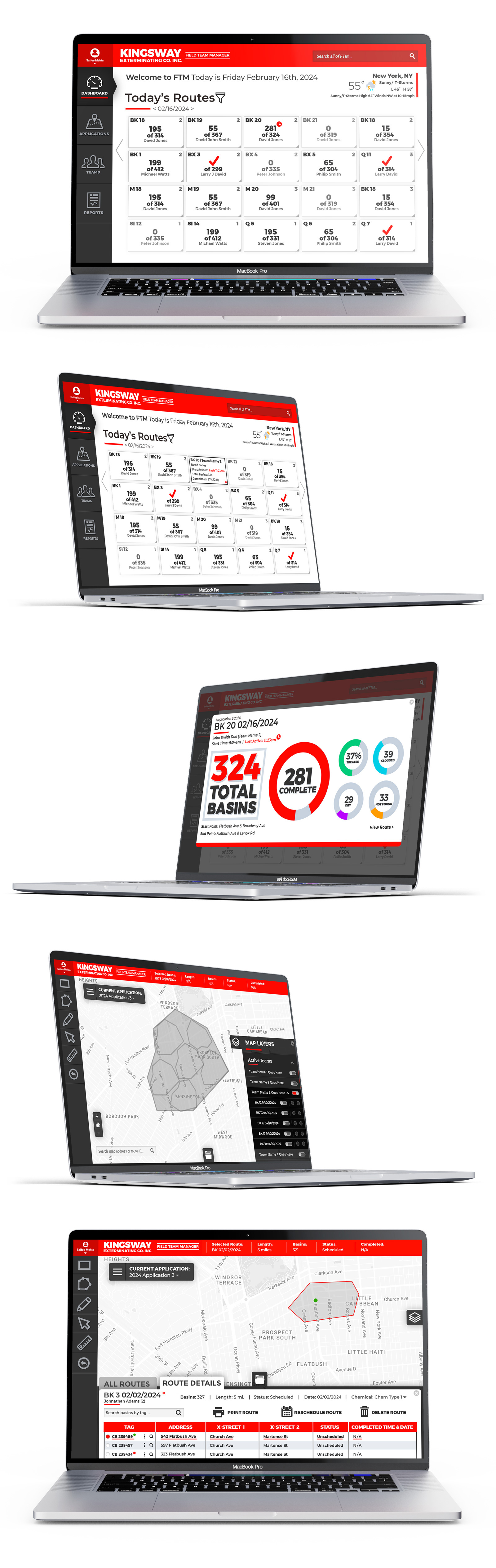
Managing thousands of treatment locations across New York City requires more than maps. It requires operational clarity.
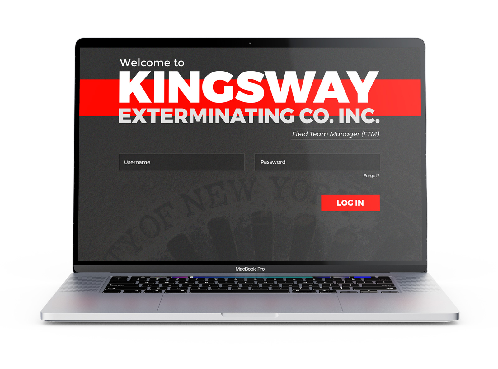
The administrative platform served as the command center for planning, scheduling, and monitoring citywide mosquito control operations. Working alongside GIS specialists and developers, I designed dashboards, routing tools, analytics, and interactive mapping experiences that transformed complex geospatial data into intuitive workflows for dispatchers and operations managers.
By simplifying information architecture and surfacing the right data at the right time, the platform enabled teams to build routes faster, monitor progress in real time, and make informed operational decisions across thousands of treatment locations.
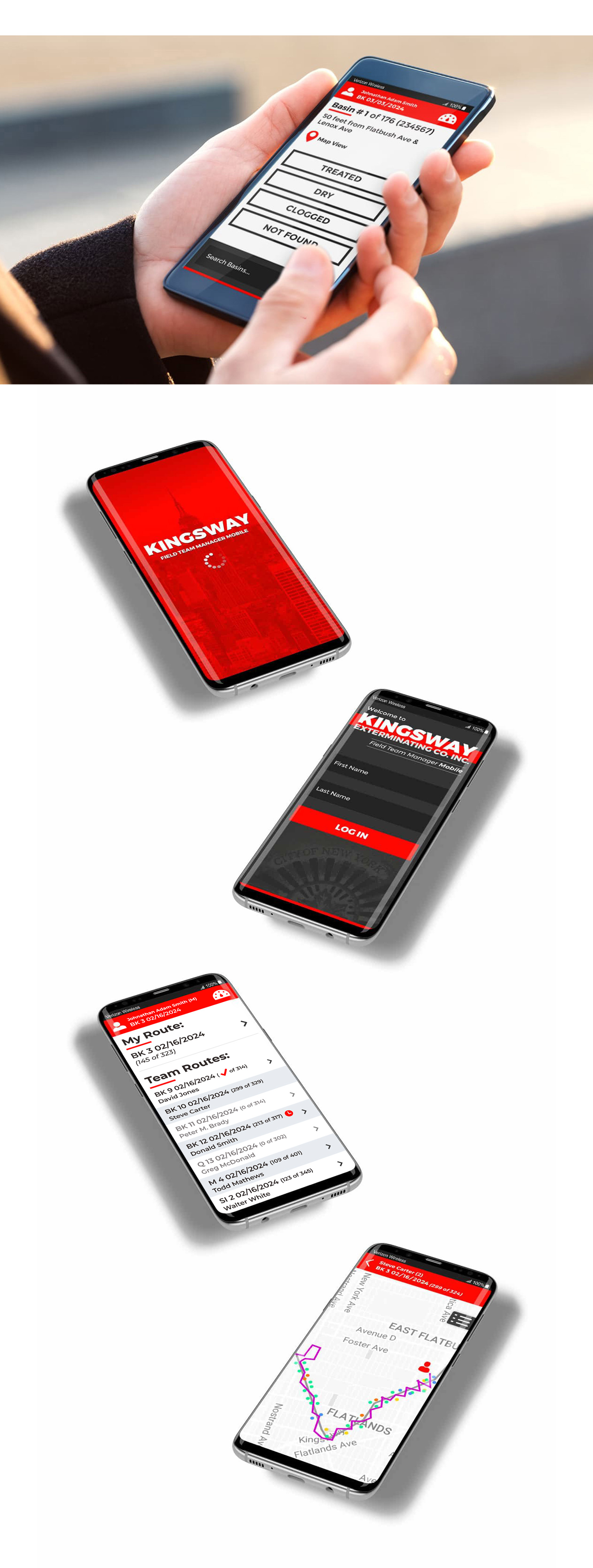
Powerful systems only succeed when they work where the work happens.
The native Android application extended the platform into the field, giving technicians a streamlined experience for navigating routes, recording basin treatment, updating job status, and synchronizing data with headquarters in real time.
Designed for speed, clarity, and outdoor usability, the interface minimized unnecessary interactions while ensuring accurate data capture under real-world conditions. Together, the desktop platform and mobile application formed a connected ecosystem that unified planning, execution, and reporting across New York City’s mosquito control program.